작성일 : 15-08-25 00:46
|
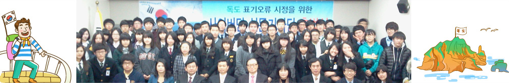
독도 오류 표기 시정서
|
 |
|
| 서한 |
시정서한 |
|
| 매체 |
웹사이트
|
|
| 이슈 |
|
|
| 언어 |
영어
|
|
| 서한보내는곳 |
To Embassy of Japan |
|
| 오류내용 |
지도에 독도를 다케시마라고 표현함 |
|
| E-mail / Contact |
jp-embassy@kp.mofa.go.jp |
|
서론 |
To Embassy of Japan Hello. I'm Hwo-Moon-kwon in korean student. It was wrong map that you posted. As wrong marked UTsuryo in your picture, Correct name was Ulleungdo
|
|
| 본론 |
You said "Takeshima is a group of islands that is situated on the Sea of Japan at a latitude of 37º 14'N and a longitude of 131º 52'E, 157 kilometers northwest of Oki Island, Shimane Prefecture. Takeshima is part of Okinoshima Town of Shimane Prefecture." Geographical distance was closer "Shimane" than "Republic of korean". However, Ulleungdo was possessed Republic of korean. Ulleungdo-Dokdo of distance was 92km, but Oki-Takeshima of distance was 157km because Ulleungdo was had dominium Republic of korean. So, Ulleungdo was Island of korean.

|
|
| 결론 |
I want to fix your wrong imformations, picture map and name,UTsuryo to Ulleungdo, Takeshima to Dokdo that you were posted. Anyway, Dokdo was island of Republic of korean. I hope that you will get correct imformations. Thank you. |
|