|
| 서한 |
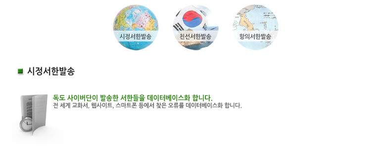
시정서한 |
|
| 매체 |
웹사이트
|
|
| 이슈 |
|
|
| 언어 |
영어
|
|
| 서한보내는곳 |
https://commons.wikimedia.org/wiki/File:North_Korea_launch_site_in_Sea_of_Japan_map.png |
|
| 오류내용 |
독도를 Liancourt Rocks라고 표기하고, 동해를 Sea of Japan이라고 표기함. |
|
| E-mail / Contact |
|
|
서론 |
Dear Webmaster, Hello, this is Se-bin Jeong who study history and sociology in South Korea. I would like to ask you a favor about the map on your website.
|
|
| 본론 |
The body of water lying between the Korean peninsula and Japanese archipelago is described incorrecly in the map of your website. I hope you appreciate the importance of transcending historial bias and provide accurate information about the East Asia region. The body of water between Korea and Japan sould be described as the "East Sea" or at least with the simultaneous use of both names; "East Sea/Sea of Japan." In addition, Dokdo, which is an integral part of the Korean territory historically and under international law, is also described incorrectly in the map on the article. The name, “Liancourt Rocks” was given by a French whaling ship Liancourt which charted the island in 1849 and have been used by western people but never by its local people. The name "Dokdo" has long been used by the Korean people. This is the legitimate name that should be used internationally. Against this back drop, I would like to request you to name the "Dokdo" when you refer to the island at issue.
|
|
| 결론 |
As a fine source for the online information, I hope you will be able to make appropriate corrections on your website. I look forward to your cooperation and it would be most helpful if you give me reason when you decide to adhere to current naming practice. Thank you very much for your time and consideration. With Kindest Regards, Jeonge Se Bin. |