|
| 서한 |
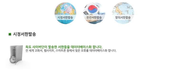
시정서한 |
|
| 매체 |
관광 문화출판물
|
|
| 이슈 |
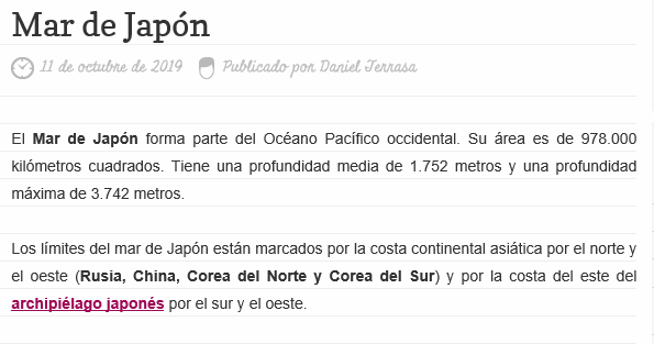
동해
|
|
| 언어 |
영어
|
|
| 서한보내는곳 |
https://geografia.laguia2000.com/ |
|
| 오류내용 |
동해를 Mar de Japo'n으로 오류 표기함. |
|
| E-mail / Contact |
teq150@naver.com |
|
서론 |
Dear Webmaster, Hello, this is Dabin Shin from South Korea. I am a student of Pusan Foreign Language High school. Also I am trying to correct errors about Korea territory as one of the Dokdo cyber members. While I was reading one of your posts, I found a error in your post. (https://geografia.laguia2000.com/hidrografia/mar-japon ) I really hope you to read this .
|
|
| 본론 |
Mar de Japan is a product of the Age of Japan's Imperialism.
The international community opened the International Hydrographic Organization (IHO) in 1919 to prepare standards for maritime boundaries, standardization of geographical names, and navigation safety, and founded the IHO in 1921.
Japan sent a representative, but Korea, which was a colony of Japan, could not attend.
Member States published a booklet called 'The Boundary between the Sea and the Sea' in 1929 based on the contents of this meeting.
Here's the Sea of Japan nomination spread of the Sea of Japan adopted the name (sea of japan) became a decisive instrument.
However, at this time, Korea was unable to offer a legitimate opinion under Japanese colonial rule.
|
|
| 결론 |
For these reasons I marked that the East Sea is correct name through logical explanation to you. Please read my explanation and correct the wrong information so that your website can show the correct information. While reading, If you have some quesiton, please send to my mail. ( teq150@naver.com) Sincerely Dabin Shin
|