|
| 서한 |
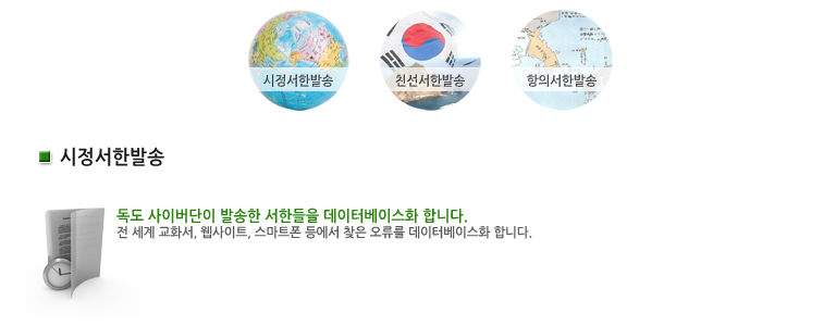
시정서한 |
|
| 매체 |
웹사이트
|
|
| 이슈 |
동해
|
|
| 언어 |
|
|
| 서한보내는곳 |
http://www.mofa.go.jp/region/asia-paci/takeshima/ |
|
| 오류내용 |
독드를 다케시마라고 하며 일본영토라고 함. |
|
| E-mail / Contact |
|
|
서론 |
Dear, webmaster.
I’m Daehwan Kwon, who is at Jeoheon high
school, in Korea.
When I accidentally saw your website, I raelized
something is wrong.
Your website show, Takeshima, as a name of
the island between Korea and Japan.
But the real name of the island is Dokdo.
I would like to explain the reason why the
island should be described as Dokdo. And East sea instead of ‘sea of Japan’.
|
|
| 본론 |
“East Sea” has been used in Korea for more
than 2000 years to indicate the body of water between Korea and japan with
convincing evidence in many antique books. Old maps from university library in
Europe and Us show “East Sea”. By the 19th century , even maps from
Japan refer to the sea as “Sea of Joseon”(the old name of Korea) instead of
“sea of Japan”
Japan made a dogmatic decision on using the
name “sea of Japan” in the 1st IHO conference held in london in 1919, Without
any consensus of adjacent Countries including Korea. at that time Korea could
not participate in the conference to raise a voice in opposition Since Korea
was being dominated by Japan imperialism
Furthermore sea of Japan including the
specific name of country is not appropriate considering the stance of the
adjacent countries on the issue. For the more east sea is the most reasonable
name in terms of History and international relations
|
|
| 결론 |
I sincerely ask you to use is the sea to
describe the body of water between Korean and Japan in your Maps and contents I
appreciate your attention and look for to your Favorable consideration
Sincerely yours,
Daehwan, Kown. |