작성일 : 18-05-14 00:21
|
글쓴이 :
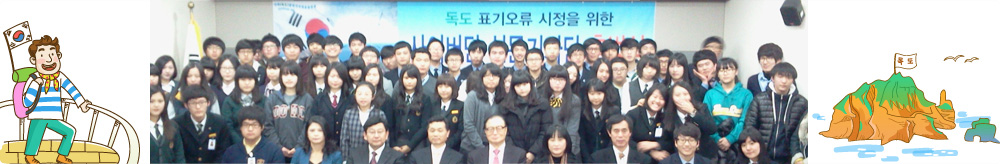
저현고최원호
 조회 : 1,403
|
|
Please,,
|
 |
|
| 서한 |
시정서한 |
|
| 매체 |
웹사이트
|
|
| 이슈 |
|
|
| 언어 |
영어
|
|
| 서한보내는곳 |
Ministry of Foreign Affairs of Japan |
|
| 오류내용 |
Picture of Dokdo |
|
| E-mail / Contact |
http://www.mofa.go.jp/a_o/na/takeshima/page1we_000057.html |
|
서론 |
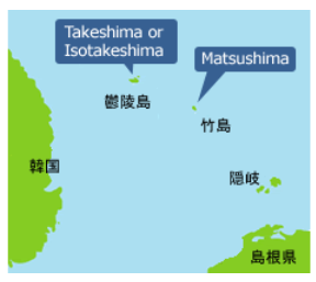
Hello my name is Wonho Choi from South Korea. I found something wrong on your map that is marked Dokdo to Takeshima
|
|
| 본론 |
Dokdo is an island in the east coast of South Korea. Historically, Dokdo belongs to South Korea. In 512, king Jizeung of Silla already annexed Dokdo. After then, Dokdo became a part of South Korea. Also, geographically Japan is farther from Dokdo than Korea. Also in 1946, SCAPIN excluded Dokdo from Japanese territory. There are many other evidences, and I think that you guys also know them. We don't want to argue with this problem. Actually it is not a problem, it is just your perverse asking
|
|
| 결론 |
|
So, in conclusion, I ask you to modify the map that is marked Takeshima. Please,, Stop acting like Dokdo is Japanese territory. People in other countries must think the lie is real. You are tricking a lot of people around the world. |
|
|