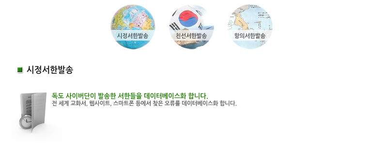
The body of water lying between the
Korean peninsula and Japanese archipelago is described incorrectly in the map
of your website. We hope you appreciate the importance of transcending
historical bias and provide accurate information about the East Asia region.
The body of water between Korea and Japan should be described as the "east
Sea" or at least with the simultaneous use of both names; "East Sea /
Sea of Japan."
In addition, Dokdo, which is an integral
part of the Korean territory historically and under international law, is also
described incorrectly in the map on your website. The name, "Takeshima /
Liancourt Rocks" seems to be taken from Japanese or Japanese-influenced
sources as Japan has illegally and inappropriately been working to use that
name internationally. The name, "Liancourt Rocks" was given by a
French whaling ship Liancourt which charted the island in 1849 and have been
used by western people but never by its local people.
The name, "Dokdo" has long
been used by the Korean people. This is the legitimate name that should be used
internationally. Against this back drop, we would like to request you to use
the name "Dokdo" when you refer to the island at issue.