작성일 : 21-08-08 22:08
|
글쓴이 :
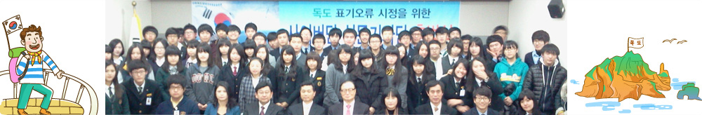
배화여고최영인
 조회 : 2,580
|
|
https://www.brynmawr.edu/alumnae/trips/ancient-traditions-inland-sea-japan
|
 |
|
| 서한 |
시정서한 |
|
| 매체 |
웹사이트
|
|
| 이슈 |
동해
|
|
| 언어 |
영어
|
|
| 서한보내는곳 |
sdoody@brynmawr.edu |
|
| 오류내용 |
오류 내용 동해를 Sea of Japan 으로 표기함 |
|
| E-mail / Contact |
asianomadjr@gmail.com |
|
서론 |
To Professor Ullman:
Professor Ullman, I am a high school student in Korea and happened upon
your itinerary and was frankly appalled.
I believe that a fine educational institution as Bryn Mawr and its
accompanying programs should be more politically aware of world events and its
effect. In the itineray, https://www.brynmawr.edu/alumnae/trips/ancient-traditions-inland-sea-japan,
I was deeply distressed to find that you have chosen to name designate the East
Seas as ‘Sea of Japan.’ It seems
extremely inappropriate and frankly appalling, that a professor would be so ill
informed to blatantly use such designation with complete lack of regard for the
dispute between the Korea and Japan. Especially as this is a travel itinerary
planned by a professor of history no less. I believe an apology is in order.
|
|
| 본론 |
Properly naming the body of water between Korea
and Japan is not simply a question of naming a geographic area but is part of a
national effort by the Korean Republic to erase the legacy of Japanese
Imperialism and to redress the unfairness that has been resulted from that
period. The way African-Americans were enslaved, so was the Korean people.
Articulating
the correct use of the names for the body of water between Korea and Japan is
not simply a question of naming a geographic area but is part of a national
effort by the Korean Republic to erase the legacy of Japanese Imperialism and
to redress the unfairness that has been resulted from that period. The way
African-Americans were enslaved, so was the Korean people. Therefore, I urge
you to use 'East Sea' to describe the body of water in question or to use both
Korean and Japanese designation simultaneously (e.g. 'East Sea/Sea of Japan')
in your contents and maps.
Furthermore, for more
than 2,000 years, not just Koreans, but people throughout the world, viewed the
body of water on the eastern boundary of Asia between Korea and Japan as the
East Se a. In order to resolve the controversy, in 2019, the
International Hydrographic Organization (IHO) reportedly urged Japan to
negotiate with the Republic of Korea. The IHO was founded in 1921 to
standardize the names of seas and oceans and support safe navigation of ships.
The name the East Sea was on world maps, including old Japanese maps, until the
publication of S-23 “the
Limits of Oceans and Seas” by IHO in 1929. During the time when the IHO was creating a list of the
names of oceans and seas, Japan had occupied and imperialized Korea starting in
1910 and ending in 1945. Accordingly, Korea was unable to participate in the
decision-making process. As a result, only the name Sea of Japan was used
in the publication, which fueled the spread of the name on world maps and in
textbooks. This practice remained in the second (1937) and third edition (1953)
of the publication of S-23 “the
Limits of Oceans and Seas” because Korea was either
under Japanese rule from 1910 to 1945 or engaged in a war from 1950-1953, the
time of the publications. According to IHO and UNCSGN, in case of topographical feature shared with
two or more countries, yet naming differently in their own languages, all the
names in each language should be marked. Once Korea and Japan agree on a
common designation that is in accord with the general rule of international
cartography we will then follow the agreed-on designation.
|
|
| 결론 |
I feel that a trip organized by a college
institution, led by a professor of history, should be sensitive to the plight
of other countries. It seems inconceivable that you would not have been aware
of the discourse between Korea and Japan and yet to blatantly just use the name
Sea of Japan seems unforgivable. Even as
the world is ravaged by not only by Covid-19, but racial injustice and discrimination,
it is imperative that matters pertaining to national guidelines be meet more
rigorously. I ask that you contact me with changes and look forward to visiting
your site with the implemented change. You can email me at asianomadjr@gmail.com with
your response, it would be greatly appreciated. Thank you. And I look forward
to hearing from you soon.
Sincerely,
Allison Cheigh |
|